
Interactive Map Direction

A data-backed world map built around a compact political structure.

The map now pulls from stored kingdom and biome records so geography, governance, climate, hazards, and travel context can be surfaced from the same lore archive that powers the rest of the world section.

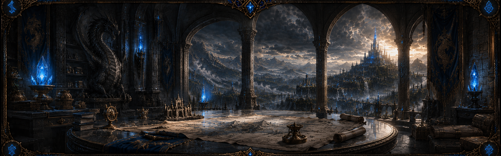
Map politics banner for Dragonheim's interactive map direction.
Command room map banner for Dragonheim's world structure.
Map Systems

Current Coverage

3Kingdom records
6Duchy records
16County records
1Heartland districts
7Mapped biomes
27Resource notes
23Hazard markers
3Map overlays
4Landmarks

Dragonheim's map is no longer just a direction page. It now reflects the same persisted world archive records used across the lore surfaces, keeping future interactive layers tied to real published data.

Overlay Stack

What the map can explain today

The underlying lore data already supports region-aware presentation instead of a purely decorative world image.

Political Boundaries

Realm-wide political overlay

Kingdom, duchy, county, and heartland lines that explain governance at a glance.

This layer keeps the launch realm legible by exposing which crown controls a road, which duchy holds a border, and where neutral authority begins.

Open layer archive →

Biome Survey Layers

All mapped biome corridors

Climate, hazard, and terrain pressure overlays sourced from the biome archive.

This layer helps players understand why roads shift, why counties settle where they do, and where travel risk begins to rise across the compact realm.

Open layer archive →

Trade & Expedition Routes

Primary roads and frontier approach lines

Road, caravan, and frontier path overlays for travel planning and regional logistics.

This layer is where settlement routes, expedition staging paths, and future player-discovered travel markers can be published without changing the political template.

Open layer archive →
Kingdom Template

Political anchors

Kingdom of Valebrook

2 duchies • 5 counties

Agrarian roads, manor law, and disciplined frontier levies anchor the western launch corridor.

Kingdom of Duskmarrow

2 duchies • 6 counties

Ash-black keeps, old dragon battlefields, and relic politics define the central crownlands.

Kingdom of Aurelfen

2 duchies • 5 counties

Forest trade, river fortresses, and noble rivalries shape the eastern routes and border law.

Regional Survey

Duchies & counties

Duchy of Crownmarch

Emberwatch Keep3 counties

Crownmarch controls Valebrook's manor roads, levy granaries, and the most heavily taxed western market routes.

Open duchy archive →
Duchy of Hallowmere

Merewatch Hall2 counties

Hallowmere balances river tolls, marsh patrols, and frontier chapel law along Valebrook's southern edge.

Open duchy archive →
Duchy of the Ashen Crown

Cinderfast3 counties

The Ashen Crown guards relic vaults, succession keeps, and the central ashfields that shape Duskmarrow politics.

Open duchy archive →
Duchy of Gravenfall

Gravenfall Hold3 counties

Gravenfall holds the battle-scarred marches where dragon gravefields, old watchfires, and hard frontier justice still define rank.

Open duchy archive →
Duchy of Starfen

Starfen Court3 counties

Starfen governs river customs, fen trade, and the noble toll roads that feed Aurelfen's eastern courts.

Open duchy archive →
Field Markers

Published landmarks

These landmarks anchor the current world map to real roads, crossing points, hazard frontiers, and neutral transit hubs.

Kingdom of ValebrookTrade corridor

Emberwatch Crossing

A heavily patrolled road junction where manor law, levy patrols, and westbound grain caravans converge.

Western road spine • county border marker

Open landmark archive →

Kingdom of DuskmarrowHazard frontier

Ashfall Ridge

A ridge of blackened stone overlooking old dragon battlefields and drake nesting corridors.

Central ashfields • elevated threat band

Open landmark archive →

Kingdom of AurelfenRiver crossing

Starfen Ford

A river route and customs point linking forest trade, noble toll collection, and eastern patrol routes.

Eastern river road • customs checkpoint

Open landmark archive →

Neutral HeartlandTransit hub

Heartland Waypoint

A neutral staging ground for couriers, guild envoys, and future shard-selector handoff flows.

Heartland district • central route nexus

Open landmark archive →