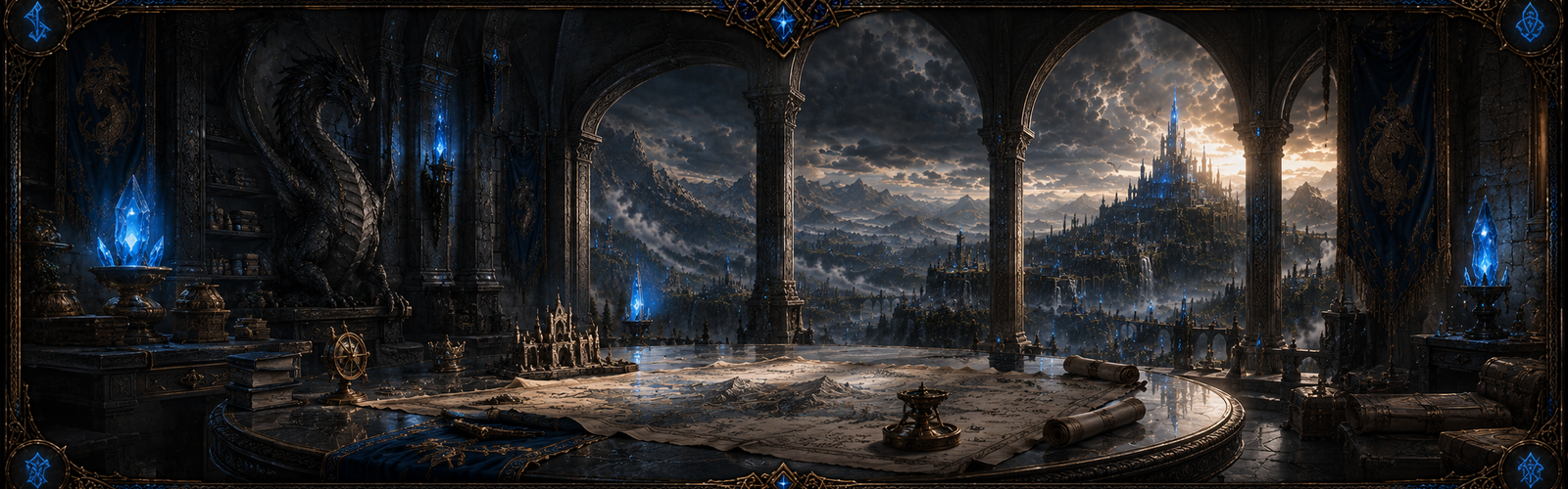
Fed by River of Thornyvale; the water stands at 92 m.
44, 26 km
Landmark entries let the public archive connect named places to route law, hazard frontiers, and political identity before the interactive map grows into a fully layered exploration surface.